|
 |
| License plate of Venezuela | |
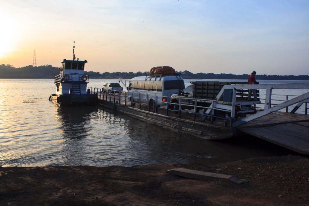
| Latitude: N 6°12'59,40" | Longitude: W 67°25'52,46" | Altitude: 42 metres | Location: El Burro | City: Puerto Páez | State/Province: Estado Bolívar | Country: Venezuela | Copyright: Ron Harkink | See map | |
| Total images: 33 | Help | |